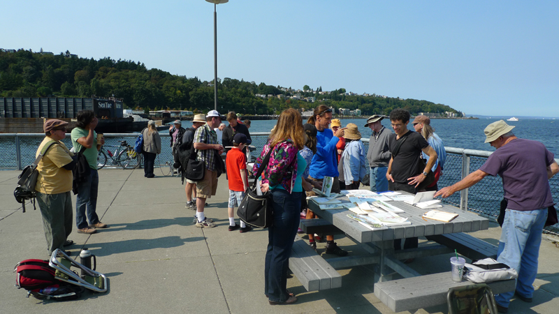
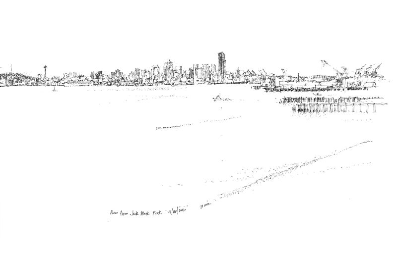
We had a great turnout on a beautiful, sunny Sunday morning for the Seattle UrbanSketchers meet-up at Jack Block Park in West Seattle. While a few sketchers drew close-up views of the marine and industrial facilities, many of us were seduced by and tackled the Seattle skyline. The expansive view stretched from downtown Seattle north to Queen Anne Hill, across Interbay to Magnolia, and finally across the Sound to the tip of West Seattle.
Because I was drawing in a 5″ x 8″ sketchbook, I decided to use three page spreads to cover the panorama and join them later in Photoshop. Here is the first spread showing the downtown area from the Space Needle on the left to CenturyLink Field and Safeco Field on the right, with the Harbor Island industries in the foreground.
This next view is of the entire panorama after the individual spreads were knitted together. It’s quite small here but the original is about 26 inches wide.


