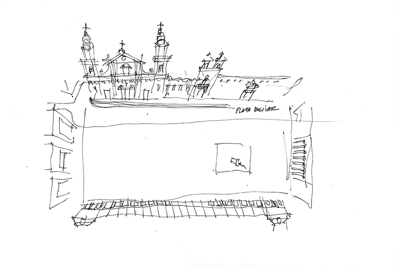
During a conference in Bogotá in 2012, we took a bus tour of the city, which made it difficult to stop for any length of time to draw. However, as we drove around the Plaza Bolívar, I managed to sketch this plan perspective of Plaza Bolívar urban space. If you look at a satellite photo of the plaza, you will see that I greatly exaggerated its length, which illustrates how one’s perception of horizontal dimensions are subject to severe distortion and are difficult to capture in a drawing.

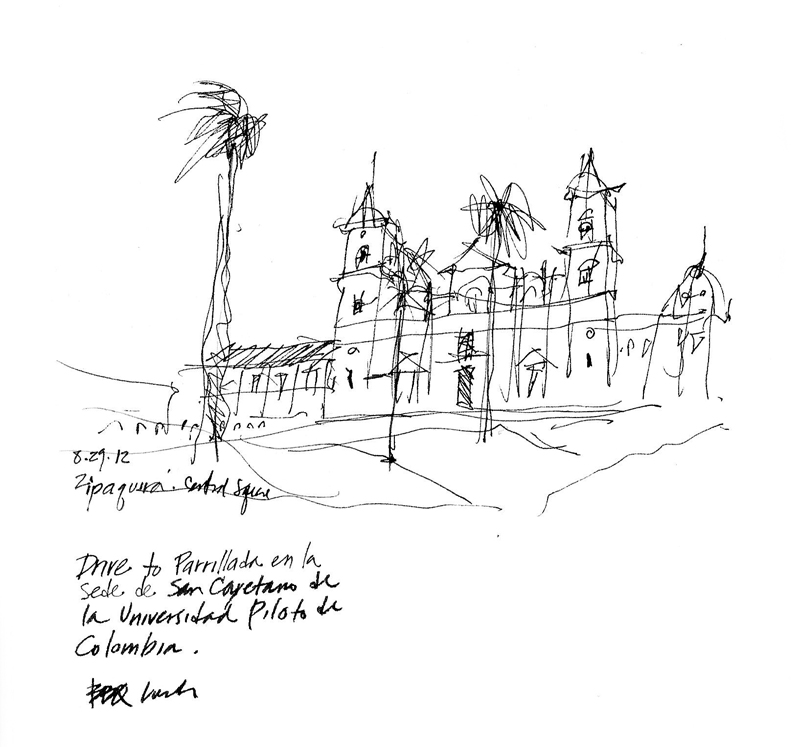
While the bus dropped us off on one corner of the square and drove around to pick us up at the opposite corner, I managed to also sketch this view of the cathedral, noting the way the slope of the square was integrated by mounding the brick pavement around the palm trees.
